Deepspatial

Law Enforcement

Background

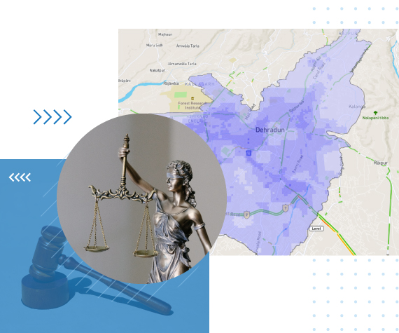
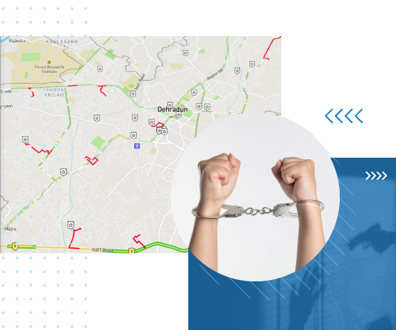
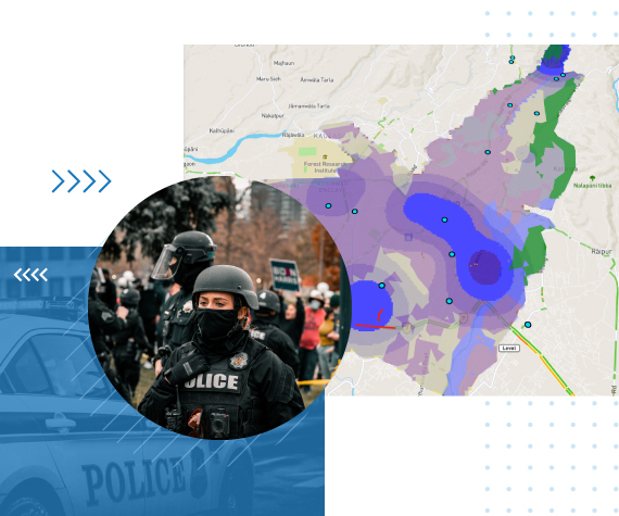
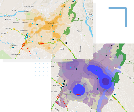
In discussion with one of our prospective clients, who wanted to create a novel method for reducing certain aspects of crime in a particular location, based on multiple variables and applied research techniques, we were engaged to build a Geo.AI based predictive model. With the success of the initial developments and the accuracy of the models, we were requested to further enhance the platform to provide a deeper planning, management and governance platform which could help the prospect with different decision-making actionable insights.

Challenges

  • Reducing crime in a digitally connected and constantly evolving environment posed a significant challenge.
  • Coordination with law enforcement agencies was crucial due to the easy availability of resources for criminals and the vast target audience.
  • Collection of micro-level data sets, high-resolution spatial imagery, reverse geocoding of crime locations, and analysis of various types of crimes and their inter-correlation was necessary.
  • Understanding and approval from the prospective client were required for the use of these data sets and research methods.
  • The applied research methods needed approvals and a deep understanding by the respective authorities.

How We Intend To Make An Impact

Deepspatial’s Platform helped understand the crime patterns with respect to geodemographic analysis, gap analysis and hotspot analysis. It provided an environmental context-based policing plan where conditions are conducive for crimes. A problem-oriented risk value map with higher & lower risk areas at micro levels according to spatial influence of criminogenic features are available in the platform. The platform also allows for predicting hotspots for different types of crimes while identifying the time related environmental conditions near the crime scenes which favor the occurrence of crime in an area. It also provides for an exit route analysis based on type of crime, traffic conditions, police outposts, police stations, time of day and multiple other parameters.

Expected Visible Results

  • The primary goal is to reduce overall crime incidents across locations.
  • Deepspatial’s platform offers a multi-variable correlated data-driven approach to identify gaps, enable planning, and facilitate faster decision-making for the client.
  • The platform allows for simulating the impact of implemented decisions on different types of crime to assess the effectiveness of the models.
  • Continuous enhancements of the platform are based on actual implementations and feedback.
  • The platform provides the ability to predict types of crime, identify hotspots, and recommend changes for proactive policing, including exit routes.